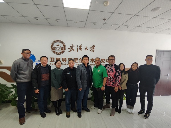
On January 9, 2024, a delegation from the National Research and Innovation Agency of Indonesia (BRIN) visited the GNSS Research Center (GRC) at Wuhan University for a fruitful exchange on geodesy and its applications. The delegation included Djoko Priyanto Joeniman, Secretary of the President and Senior Government Advisor of the Central Government of Indonesia, Susilo Sarimun Lasimin, Director of the Geospatial Information Research Center at the BRIN, Heri Andreas Ardiani, Chair Professor of Bandung Institute of Technology, Dhota Pradipta, Professor of Bandung Institute of Technology, and Shaoxiong Zhang, Deputy General Manager of International Business Department of Chinese South Surveying & Mapping Technology Corporation.
Prof. Jiang Weiping, Head of the Office of Scientific Research and Development at Wuhan University, gives a welcome speech. Attendees from Wuhan University included Prof. Jianghui Geng, Zhao Li, Taoyong Jin, and Tao Li.Prof. Pai Wang from the GRC hosted the meeting.
Prof. Heri Andreas Ardiani from Bandung Institute of Technology delivered a presentation entitled “Urgent program toward better management on land subsidence, sea level rise and any related issues in Indonesia”. He introduced current issues of land subsidence, sea level rise, and other related geohazards in Indonesia caused by the excessive consumption of groundwater resources, and also a series of urgent programs for the management of these geohazard issues.
Djoko Priyanto Joeniman, the Secretary of the President of Indonesia, praised the prominent advantages and international influence of Wuhan University in satellite geodesy, and emphasized the Indonesian government's high concern and the interest for international cooperation with Wuhan University to address the challenges of ground subsidence and other geohazards.
Prof. Geng Jianghui introduced the structure, research directions, and scientific achievements of the GRC, and demonstrated the self-developed six-component Beidou seismometer to the Indonesian guests. Prof. Li Tao shared China's technical and policy experiences in ground subsidence monitoring and recovery. The meeting concluded with friendly and constructive conservations among the participants, who exchanged ideas on various topics and explored the possibilities of future cooperation.

Copyright PRIDELAB IN GNSS CENTER , Wuhan University Visits:237927 Powered by Truesing